Farmland west of Hersham
Introduction
The photograph on this page of Farmland west of Hersham by Derek Harper as part of the Geograph project.
The Geograph project started in 2005 with the aim of publishing, organising and preserving representative images for every square kilometre of Great Britain, Ireland and the Isle of Man.

There are currently over 7.5m images from over 14,400 individuals and you can help contribute to the project by visiting https://www.geograph.org.uk
Farmland west of Hersham
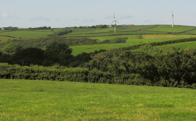
Image: © Derek Harper Taken: 21 Jun 2019
From the lane southwest of the village, looking across the headwater valley of a tributary of the Strat. The right-hand turbine is near Collaton Farm, in Image
Images are licensed for reuse under creativecommons.org/licenses/by-sa/2.0
Image Location
Latitude
50.839718
Longitude
-4.481176