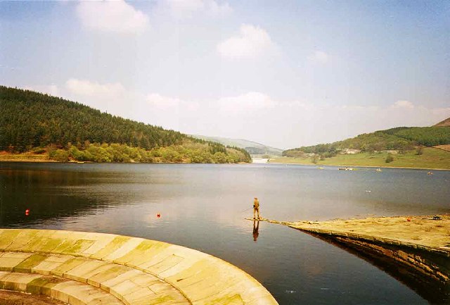
Lady Bower Reservoir, Peak District
Introduction
The photograph on this page of Lady Bower Reservoir, Peak District by Christine Matthews as part of the Geograph project.
The Geograph project started in 2005 with the aim of publishing, organising and preserving representative images for every square kilometre of Great Britain, Ireland and the Isle of Man.
There are currently over 7.5m images from over 14,400 individuals and you can help contribute to the project by visiting https://www.geograph.org.uk

Image: © Christine Matthews Taken: Unknown
The Lady Bower Reservoir was constructed in 1935 and was an even larger project that the Howden and Derwent Reservoirs which had already been constructed and was downstream of these two earlier dams. The construction of Ladybower Dam flooded the area around the junction of the Derwent with the Ashop. This project, first mooted in the early 1920s, caused considerable controversy because it involved the flooding of two villages; Ashopton - which lay at the junction of the Ashop and the Derwent - and Derwent, which lay upstream on the Derwent river. Despite protests the dam went ahead and was finished in 1943, though the reservoir took a further two years to fill. At the time this was the largest reservoir in Britain. The flooding of the two villages was the worst damage inflicted by the water authorities in their many projects around the Peak District, and highlighted the damage which these can do to the environment - though paradoxically Ladybower is now a major tourist attraction. The area is also famous for being used as a testing ground for the bouncing bombs used in the Dambusters Raid. There are also rumours of ghostly Lancaster bombers, though I seem to recall reading in the newspaper that this had been explained by someone using a slide projector onto low cloud.

