Ram Marsh (2)
Introduction
The photograph on this page of Ram Marsh (2) by Simon Carey as part of the Geograph project.
The Geograph project started in 2005 with the aim of publishing, organising and preserving representative images for every square kilometre of Great Britain, Ireland and the Isle of Man.

There are currently over 7.5m images from over 14,400 individuals and you can help contribute to the project by visiting https://www.geograph.org.uk
Ram Marsh (2)
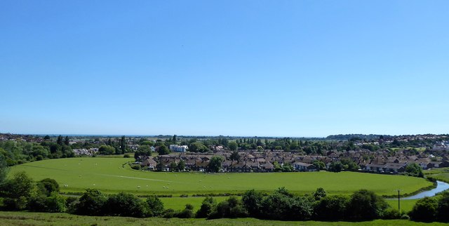
Image: © Simon Carey Taken: 22 Jun 2019
The name of the field according to Rye's 1840 tithe map viewed from Leasam Hill and showing the full extend of the current field which is bounded to the north, east and west by the River Tillingham. Part of the original field has been lost to housing.
Images are licensed for reuse under creativecommons.org/licenses/by-sa/2.0
Image Location
Latitude
50.955617
Longitude
0.725261