Peters Marland
Introduction
The photograph on this page of Peters Marland by Derek Harper as part of the Geograph project.
The Geograph project started in 2005 with the aim of publishing, organising and preserving representative images for every square kilometre of Great Britain, Ireland and the Isle of Man.

There are currently over 7.5m images from over 14,400 individuals and you can help contribute to the project by visiting https://www.geograph.org.uk
Peters Marland
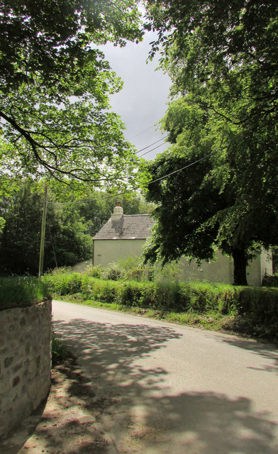
Image: © Derek Harper Taken: 21 Jun 2019
The village street curves past a cottage and numerous trees.
Images are licensed for reuse under creativecommons.org/licenses/by-sa/2.0
Image Location
Latitude
50.900254
Longitude
-4.164668