Old railway bridge abutment, Keswick
Introduction
The photograph on this page of Old railway bridge abutment, Keswick by Jim Barton as part of the Geograph project.
The Geograph project started in 2005 with the aim of publishing, organising and preserving representative images for every square kilometre of Great Britain, Ireland and the Isle of Man.

There are currently over 7.5m images from over 14,400 individuals and you can help contribute to the project by visiting https://www.geograph.org.uk
Old railway bridge abutment, Keswick
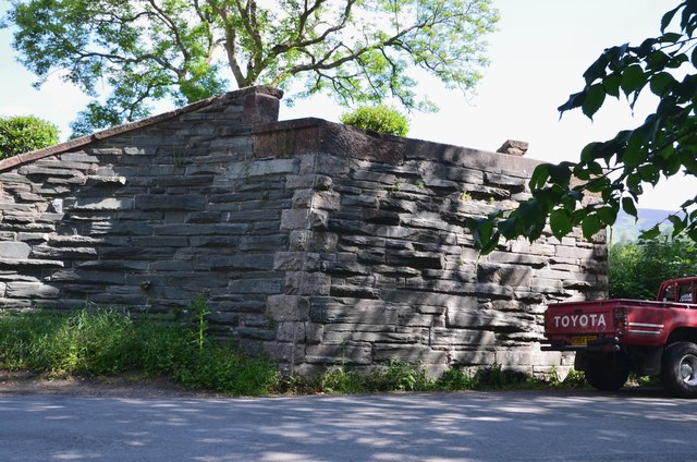
Image: © Jim Barton Taken: 19 Jun 2019
The remains of the former Cockermouth, Keswick and Penrith railway line at Brundholme Road. The line closed west of Keswick in 1966 and between Keswick and Penrith in 1972 - see https://en.wikipedia.org/wiki/Cockermouth,_Keswick_and_Penrith_Railway.
Images are licensed for reuse under creativecommons.org/licenses/by-sa/2.0
Image Location
Latitude
54.607068
Longitude
-3.138022