Farm sheds at Clarkesbridge
Introduction
The photograph on this page of Farm sheds at Clarkesbridge by Eric Jones as part of the Geograph project.
The Geograph project started in 2005 with the aim of publishing, organising and preserving representative images for every square kilometre of Great Britain, Ireland and the Isle of Man.

There are currently over 7.5m images from over 14,400 individuals and you can help contribute to the project by visiting https://www.geograph.org.uk
Farm sheds at Clarkesbridge
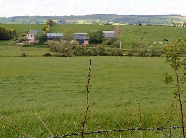
Image: © Eric Jones Taken: 7 Jun 2019
This farm is located past Clarkesbridge Presbyterian Church on the Cortamlat Road. Mullyash Mountain in Co Monaghan forms the background.
Images are licensed for reuse under creativecommons.org/licenses/by-sa/2.0
Image Location
Latitude
54.176742
Longitude
-6.621836