Flats and boats, Brentford
Introduction
The photograph on this page of Flats and boats, Brentford by Robin Webster as part of the Geograph project.
The Geograph project started in 2005 with the aim of publishing, organising and preserving representative images for every square kilometre of Great Britain, Ireland and the Isle of Man.

There are currently over 7.5m images from over 14,400 individuals and you can help contribute to the project by visiting https://www.geograph.org.uk
Flats and boats, Brentford
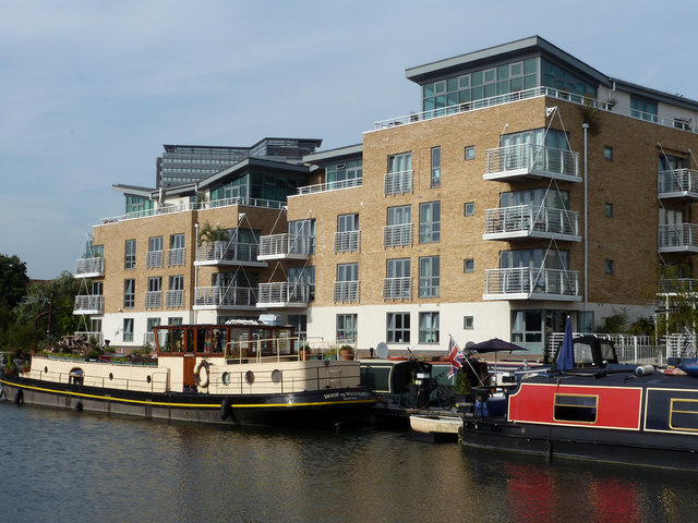
Image: © Robin Webster Taken: 9 Sep 2012
The large Dutch boat probably had to come through the west chamber at Brentford Gauging Locks, which is somewhat longer and wider than the other.
Images are licensed for reuse under creativecommons.org/licenses/by-sa/2.0
Image Location
Latitude
51.484572
Longitude
-0.312353