The Wauchope Water, Langholm
Introduction
The photograph on this page of The Wauchope Water, Langholm by Jim Barton as part of the Geograph project.
The Geograph project started in 2005 with the aim of publishing, organising and preserving representative images for every square kilometre of Great Britain, Ireland and the Isle of Man.

There are currently over 7.5m images from over 14,400 individuals and you can help contribute to the project by visiting https://www.geograph.org.uk
The Wauchope Water, Langholm
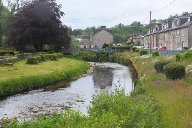
Image: © Jim Barton Taken: 17 Jun 2019
The Wauchope Water drains eastwards to meet the Esk at Langholm. The houses to the right are in Caroline Street.
Images are licensed for reuse under creativecommons.org/licenses/by-sa/2.0
Image Location
Latitude
55.150517
Longitude
-3.004056