Old tollhouse at Brentford Gauging Locks
Introduction
The photograph on this page of Old tollhouse at Brentford Gauging Locks by Robin Webster as part of the Geograph project.
The Geograph project started in 2005 with the aim of publishing, organising and preserving representative images for every square kilometre of Great Britain, Ireland and the Isle of Man.

There are currently over 7.5m images from over 14,400 individuals and you can help contribute to the project by visiting https://www.geograph.org.uk
Old tollhouse at Brentford Gauging Locks
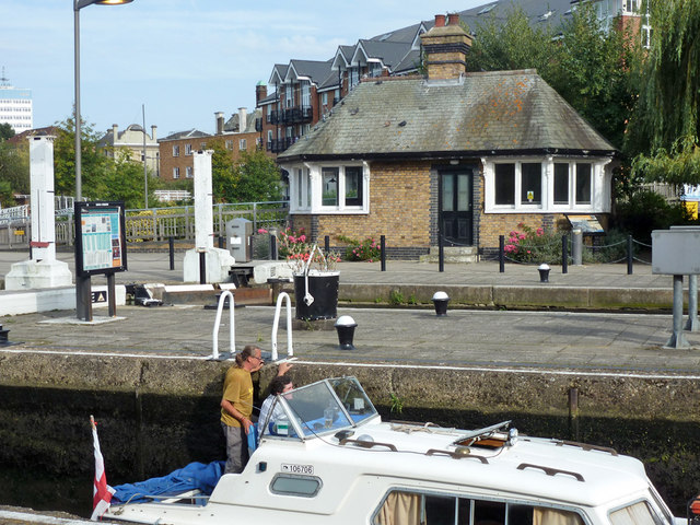
Image: © Robin Webster Taken: 9 Sep 2012
A grade II listed building of 1911. This was presumably built when the lock was doubled, which happened some time around then according to old maps.
Images are licensed for reuse under creativecommons.org/licenses/by-sa/2.0
Image Location
Latitude
51.483029
Longitude
-0.311402