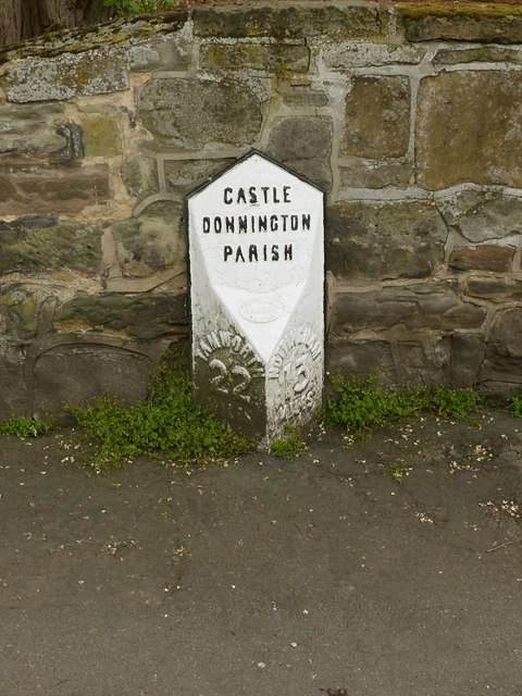
Milestone, High Street, Castle Donington
Introduction
The photograph on this page of Milestone, High Street, Castle Donington by Alan Murray-Rust as part of the Geograph project.
The Geograph project started in 2005 with the aim of publishing, organising and preserving representative images for every square kilometre of Great Britain, Ireland and the Isle of Man.
There are currently over 7.5m images from over 14,400 individuals and you can help contribute to the project by visiting https://www.geograph.org.uk

Image: © Alan Murray-Rust Taken: 18 Jun 2019
On the former turnpike road between Nottingham and Tamworth, thence to Birmingham. Listed Grade II. The most recent paint job has painted over old paintwork, and has ignored the mileages, although these show up quite well with the accumulated muck. Note the double-N in the spelling of Donnington. The current spelling appears to have been regularised by the Ordnance Survey as the name already appears with just a single N on the first edition of the 1-inch series.

