Tight security
Introduction
The photograph on this page of Tight security by Alan Hughes as part of the Geograph project.
The Geograph project started in 2005 with the aim of publishing, organising and preserving representative images for every square kilometre of Great Britain, Ireland and the Isle of Man.

There are currently over 7.5m images from over 14,400 individuals and you can help contribute to the project by visiting https://www.geograph.org.uk
Tight security
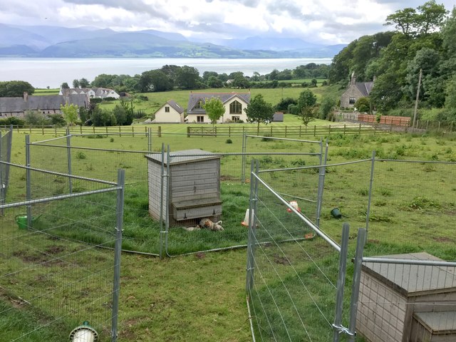
Image: © Alan Hughes Taken: 16 Jun 2019
Sturdy fencing around chicken coops is used to keep predators at bay.
Images are licensed for reuse under creativecommons.org/licenses/by-sa/2.0
Image Location
Latitude
53.298659
Longitude
-4.072009