Former Kew Bridge platform 4
Introduction
The photograph on this page of Former Kew Bridge platform 4 by Robin Webster as part of the Geograph project.
The Geograph project started in 2005 with the aim of publishing, organising and preserving representative images for every square kilometre of Great Britain, Ireland and the Isle of Man.

There are currently over 7.5m images from over 14,400 individuals and you can help contribute to the project by visiting https://www.geograph.org.uk
Former Kew Bridge platform 4
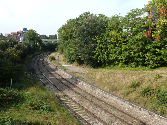
Image: © Robin Webster Taken: 9 Sep 2012
Platforms 4 and 3, of which there is no obvious trace now, were closed in 1940. This platform is used as a railway maintenance access point. There is now no scheduled passenger service over this curve.
Images are licensed for reuse under creativecommons.org/licenses/by-sa/2.0
Image Location
Latitude
51.489869
Longitude
-0.28695