Acacia Avenue
Introduction
The photograph on this page of Acacia Avenue by David Anstiss as part of the Geograph project.
The Geograph project started in 2005 with the aim of publishing, organising and preserving representative images for every square kilometre of Great Britain, Ireland and the Isle of Man.

There are currently over 7.5m images from over 14,400 individuals and you can help contribute to the project by visiting https://www.geograph.org.uk
Acacia Avenue
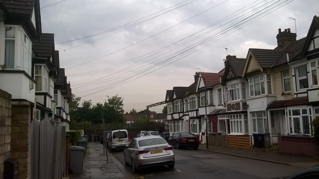
Image: © David Anstiss Taken: 18 Jun 2019
This very short road and 2 rows of houses leads from St John's Road. At the end is the Bakerloo Line railway line between Wembley Central and North Wembley, also railway services on London Overground use tracks.
Images are licensed for reuse under creativecommons.org/licenses/by-sa/2.0
Image Location
Latitude
51.554232
Longitude
-0.297804