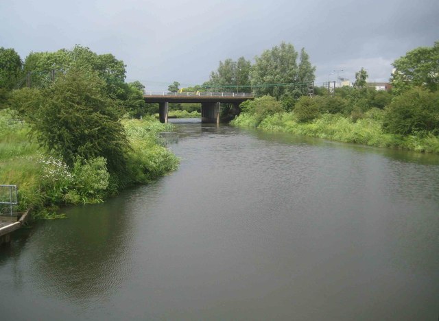
River Nene Navigation: A45 road bridge
Introduction
The photograph on this page of River Nene Navigation: A45 road bridge by Nigel Cox as part of the Geograph project.
The Geograph project started in 2005 with the aim of publishing, organising and preserving representative images for every square kilometre of Great Britain, Ireland and the Isle of Man.
There are currently over 7.5m images from over 14,400 individuals and you can help contribute to the project by visiting https://www.geograph.org.uk

Image: © Nigel Cox Taken: 16 Jun 2019
This is the view from the footbridge at the Upper Wellingborough Lock. Prior to the construction of the A45 dual carriageway, old large scale Ordnance Survey maps show that the Navigation ran in a straight line from here direct to Image], so a fairly major diversion of its route was necessary to get it to go under the new road more or less perpendicularly, rather than at a narrow angle.

