Site of former Oakdale Comprehensive School
Introduction
The photograph on this page of Site of former Oakdale Comprehensive School by M J Roscoe as part of the Geograph project.
The Geograph project started in 2005 with the aim of publishing, organising and preserving representative images for every square kilometre of Great Britain, Ireland and the Isle of Man.

There are currently over 7.5m images from over 14,400 individuals and you can help contribute to the project by visiting https://www.geograph.org.uk
Site of former Oakdale Comprehensive School
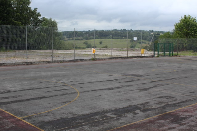
Image: © M J Roscoe Taken: 17 Jun 2019
Part of the cleared hillside site. The school buildings, which were mostly to the right (out of shot) and down the hillside, have been demolished and the site is for sale.
Images are licensed for reuse under creativecommons.org/licenses/by-sa/2.0
Image Location
Latitude
51.673436
Longitude
-3.184915