Flats by Perryfield Way, West Hendon
Introduction
The photograph on this page of Flats by Perryfield Way, West Hendon by David Howard as part of the Geograph project.
The Geograph project started in 2005 with the aim of publishing, organising and preserving representative images for every square kilometre of Great Britain, Ireland and the Isle of Man.

There are currently over 7.5m images from over 14,400 individuals and you can help contribute to the project by visiting https://www.geograph.org.uk
Flats by Perryfield Way, West Hendon
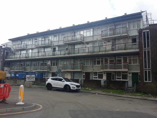
Image: © David Howard Taken: 15 Jun 2019
These are some of the last blocks to be demolished for the far nicer replacements which are over half way completed. This one is empty and will soon be gone. They lasted just under 50 years.
Images are licensed for reuse under creativecommons.org/licenses/by-sa/2.0
Image Location
Latitude
51.577037
Longitude
-0.240523