Wirral Circular Trail, Birkenhead
Introduction
The photograph on this page of Wirral Circular Trail, Birkenhead by JThomas as part of the Geograph project.
The Geograph project started in 2005 with the aim of publishing, organising and preserving representative images for every square kilometre of Great Britain, Ireland and the Isle of Man.

There are currently over 7.5m images from over 14,400 individuals and you can help contribute to the project by visiting https://www.geograph.org.uk
Wirral Circular Trail, Birkenhead
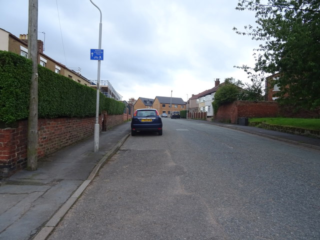
Image: © JThomas Taken: 15 Jun 2019
Wirral Circular Trail is a 60 km (37 mile) trail starting at the Seacombe Ferry Terminal and visits Wallasey, Hoylake, Heswall and Neston.
Images are licensed for reuse under creativecommons.org/licenses/by-sa/2.0
Image Location
Latitude
53.365905
Longitude
-2.994962