Level Crossing Near Lower Newton Farm
Introduction
The photograph on this page of Level Crossing Near Lower Newton Farm by Geoff Pick as part of the Geograph project.
The Geograph project started in 2005 with the aim of publishing, organising and preserving representative images for every square kilometre of Great Britain, Ireland and the Isle of Man.

There are currently over 7.5m images from over 14,400 individuals and you can help contribute to the project by visiting https://www.geograph.org.uk
Level Crossing Near Lower Newton Farm
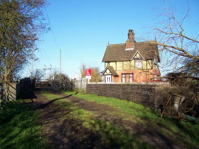
Image: © Geoff Pick Taken: 23 Nov 2007
The bridge across the River Blithe can be seen in the foreground
Images are licensed for reuse under creativecommons.org/licenses/by-sa/2.0
Image Location


Leaflet Map data © OpenStreetMap
Latitude
52.944606
Longitude
-2.021685