Wheat field at Bridge End
Introduction
The photograph on this page of Wheat field at Bridge End by Jonathan Thacker as part of the Geograph project.
The Geograph project started in 2005 with the aim of publishing, organising and preserving representative images for every square kilometre of Great Britain, Ireland and the Isle of Man.

There are currently over 7.5m images from over 14,400 individuals and you can help contribute to the project by visiting https://www.geograph.org.uk
Wheat field at Bridge End
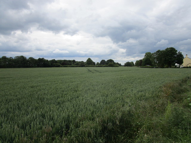
Image: © Jonathan Thacker Taken: 15 Jun 2019
The trees belong to a small park surrounding Priory Farm.
Images are licensed for reuse under creativecommons.org/licenses/by-sa/2.0
Image Location
Latitude
52.910234
Longitude
-0.299258