Wellington Road South
Introduction
The photograph on this page of Wellington Road South by Gerald England as part of the Geograph project.
The Geograph project started in 2005 with the aim of publishing, organising and preserving representative images for every square kilometre of Great Britain, Ireland and the Isle of Man.

There are currently over 7.5m images from over 14,400 individuals and you can help contribute to the project by visiting https://www.geograph.org.uk
Wellington Road South
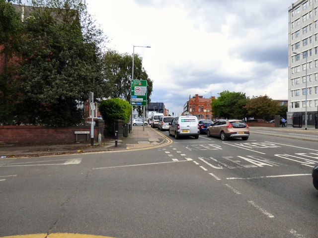
Image: © Gerald England Taken: 10 Jun 2019
The A6 into Stockport. Ahead is the junction with the current B5465. New mapping appears to show that this part of the B5465 is being renumbered as the A6188 together the rest of the A626 along St Mary's Way and Tiviot Way and on to Heaton Norris. It may be some time before the re-numbering appears on signage Image
Images are licensed for reuse under creativecommons.org/licenses/by-sa/2.0
Image Location
Latitude
53.400692
Longitude
-2.155926