The River Leven
Introduction
The photograph on this page of The River Leven by Lairich Rig as part of the Geograph project.
The Geograph project started in 2005 with the aim of publishing, organising and preserving representative images for every square kilometre of Great Britain, Ireland and the Isle of Man.

There are currently over 7.5m images from over 14,400 individuals and you can help contribute to the project by visiting https://www.geograph.org.uk
The River Leven
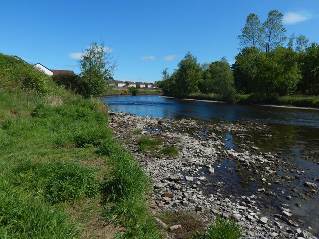
Image: © Lairich Rig Taken: 24 May 2019
The picture was taken from the foot of some steps: Image The water level was low after a long spell of dry weather. For the view from the top of the grassy bank, see Image
Images are licensed for reuse under creativecommons.org/licenses/by-sa/2.0
Image Location
Latitude
55.973506
Longitude
-4.580881