City of London Almshouses and Green, Ferndale Road, SW9
Introduction
The photograph on this page of City of London Almshouses and Green, Ferndale Road, SW9 by Danny P Robinson as part of the Geograph project.
The Geograph project started in 2005 with the aim of publishing, organising and preserving representative images for every square kilometre of Great Britain, Ireland and the Isle of Man.

There are currently over 7.5m images from over 14,400 individuals and you can help contribute to the project by visiting https://www.geograph.org.uk
City of London Almshouses and Green, Ferndale Road, SW9
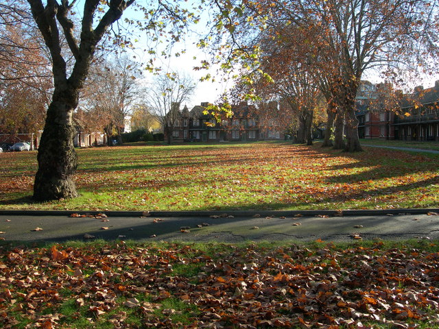
Image: © Danny P Robinson Taken: 21 Nov 2007
The Almshouses were built as social housing in the latter half of the 19th century. Most of the current residents are nominated by Lambeth Council now. Read more via these 2 links http://www.british-history.ac.uk/report.aspx?compid=49766 http://www.brixtonsociety.org.uk/trailtwo.htm
Images are licensed for reuse under creativecommons.org/licenses/by-sa/2.0
Image Location
Latitude
51.462514
Longitude
-0.121414