Side gate, Lockerbie Dryfesdale Church
Introduction
The photograph on this page of Side gate, Lockerbie Dryfesdale Church by Richard Sutcliffe as part of the Geograph project.
The Geograph project started in 2005 with the aim of publishing, organising and preserving representative images for every square kilometre of Great Britain, Ireland and the Isle of Man.

There are currently over 7.5m images from over 14,400 individuals and you can help contribute to the project by visiting https://www.geograph.org.uk
Side gate, Lockerbie Dryfesdale Church
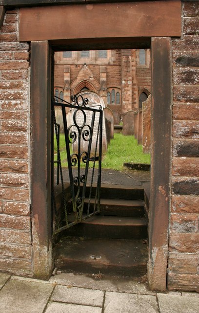
Image: © Richard Sutcliffe Taken: 14 Jun 2019
The gateway leads into the churchyard, which contains many 18th century gravestones.
Images are licensed for reuse under creativecommons.org/licenses/by-sa/2.0
Image Location
Latitude
55.123558
Longitude
-3.356529