Former railway bridge support in Upper Soudley
Introduction
The photograph on this page of Former railway bridge support in Upper Soudley by John S Turner as part of the Geograph project.
The Geograph project started in 2005 with the aim of publishing, organising and preserving representative images for every square kilometre of Great Britain, Ireland and the Isle of Man.

There are currently over 7.5m images from over 14,400 individuals and you can help contribute to the project by visiting https://www.geograph.org.uk
Former railway bridge support in Upper Soudley
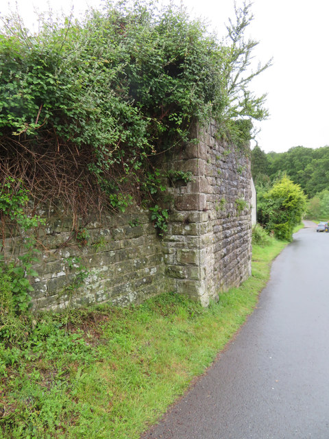
Image: © John S Turner Taken: 14 Jun 2019
The remaining bridge support that once carried the G.W.R. Forest of Dean Branch through Upper Soudley. There is an Ordnance Survey bench mark on the short face facing the camera: Image
Images are licensed for reuse under creativecommons.org/licenses/by-sa/2.0
Image Location
Latitude
51.791738
Longitude
-2.497702