Edge of meadow, Llwyncelyn LNR
Introduction
The photograph on this page of Edge of meadow, Llwyncelyn LNR by M J Roscoe as part of the Geograph project.
The Geograph project started in 2005 with the aim of publishing, organising and preserving representative images for every square kilometre of Great Britain, Ireland and the Isle of Man.

There are currently over 7.5m images from over 14,400 individuals and you can help contribute to the project by visiting https://www.geograph.org.uk
Edge of meadow, Llwyncelyn LNR
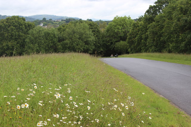
Image: © M J Roscoe Taken: 13 Jun 2019
Part of the wild flower meadow; the land to the right is designated as a natural burial ground for the adjacent Lwyncelyn Cemetery.
Images are licensed for reuse under creativecommons.org/licenses/by-sa/2.0
Image Location
Latitude
51.63764
Longitude
-3.033554