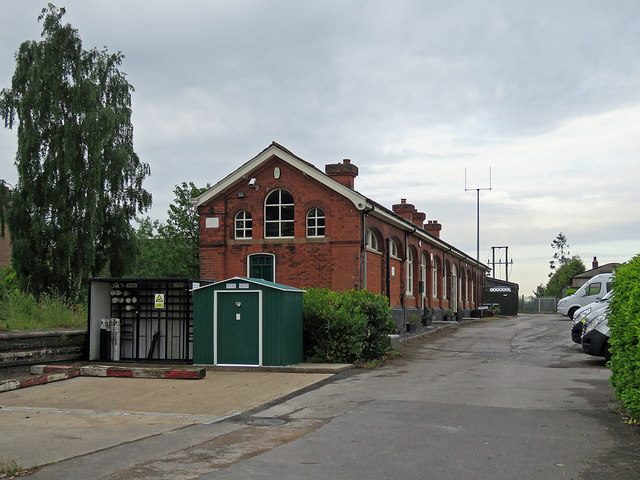
Edwinstowe: the former station building
Introduction
The photograph on this page of Edwinstowe: the former station building by John Sutton as part of the Geograph project.
The Geograph project started in 2005 with the aim of publishing, organising and preserving representative images for every square kilometre of Great Britain, Ireland and the Isle of Man.
There are currently over 7.5m images from over 14,400 individuals and you can help contribute to the project by visiting https://www.geograph.org.uk

Image: © John Sutton Taken: 10 Jun 2019
The station building and yard are now the base for a private ambulance service. The Lancashire, Derbyshire & East Coast Railway (which reached neither Lancashire nor the East Coast) was built in the 1890s, principally to carry coal. However, its Chesterfield to Lincoln line was promoted as The Dukeries Route, and it was hoped that many visitors would come to Edwinstowe to visit Sherwood Forest and the Major Oak. This was the third-largest station on the line (after Chesterfield Market Place and Langwith Junction) and a large station hotel and tea rooms were built nearby, on High Street. Passenger services ceased in 1956 and with the cessation of coal traffic the line from Shirebrook to Tuxford is now used by Network Rail as a test track (see Image] ). Image] Image]

