West Herts Crematorium
Introduction
The photograph on this page of West Herts Crematorium by David Hillas as part of the Geograph project.
The Geograph project started in 2005 with the aim of publishing, organising and preserving representative images for every square kilometre of Great Britain, Ireland and the Isle of Man.

There are currently over 7.5m images from over 14,400 individuals and you can help contribute to the project by visiting https://www.geograph.org.uk
West Herts Crematorium
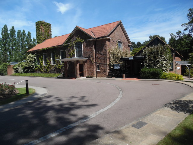
Image: © David Hillas Taken: 1 Jun 2019
Situated in High Elms Lane WD25 0JS, this crematorium consists of two chapels, the original North Chapel to the left of the photo being opened in 1959. The smaller South Chapel to the right was opened in 1977. Surrounding the crematorium are gardens and woodland which are open every day of the year. This crematorium is managed by a Joint Committee of Councillors from Decorum, Hertsmere, St Albans, Three Rivers and Watford District Councils.
Images are licensed for reuse under creativecommons.org/licenses/by-sa/2.0
Image Location
Latitude
51.70178
Longitude
-0.386048