Crag Farm Cottages, Sudbourne
Introduction
The photograph on this page of Crag Farm Cottages, Sudbourne by Simon Mortimer as part of the Geograph project.
The Geograph project started in 2005 with the aim of publishing, organising and preserving representative images for every square kilometre of Great Britain, Ireland and the Isle of Man.

There are currently over 7.5m images from over 14,400 individuals and you can help contribute to the project by visiting https://www.geograph.org.uk
Crag Farm Cottages, Sudbourne
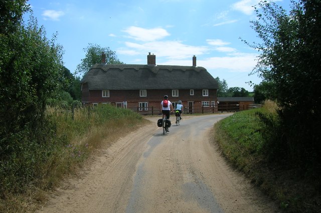
Image: © Simon Mortimer Taken: 24 Jul 2013
On the corner of Ferry Road and Crag Farm Road. Ferry Road is part of National Cycle Netwrok route 41 here.
Images are licensed for reuse under creativecommons.org/licenses/by-sa/2.0
Image Location
Latitude
52.114831
Longitude
1.542823