Swallows Croft, Reading
Introduction
The photograph on this page of Swallows Croft, Reading by Chris Wood as part of the Geograph project.
The Geograph project started in 2005 with the aim of publishing, organising and preserving representative images for every square kilometre of Great Britain, Ireland and the Isle of Man.

There are currently over 7.5m images from over 14,400 individuals and you can help contribute to the project by visiting https://www.geograph.org.uk
Swallows Croft, Reading
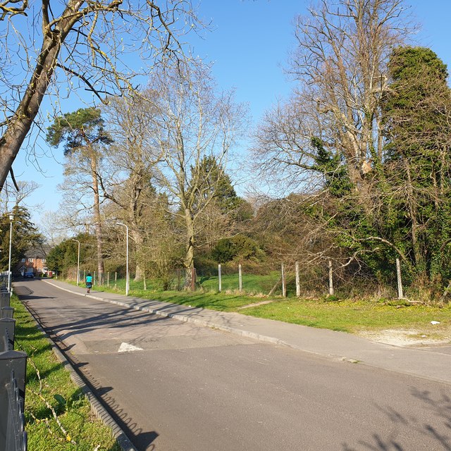
Image: © Chris Wood Taken: 29 Mar 2019
Swallows Croft is a residential street developed around the turn of the twentieth century on the site of the Ministry of Agriculture and fisheries site itself on the site of the grounds of Coley House, in Coley Park, Reading. This is the access road into the development, looking in, with the first houses visible in the distance. To the right is a lawn and some undeveloped woodland.
Images are licensed for reuse under creativecommons.org/licenses/by-sa/2.0
Image Location
Latitude
51.443731
Longitude
-0.991454