Llwybr Llanbadarn Odwyn / Llanbadarn Odwyn Path
Introduction
The photograph on this page of Llwybr Llanbadarn Odwyn / Llanbadarn Odwyn Path by Alan Richards as part of the Geograph project.
The Geograph project started in 2005 with the aim of publishing, organising and preserving representative images for every square kilometre of Great Britain, Ireland and the Isle of Man.

There are currently over 7.5m images from over 14,400 individuals and you can help contribute to the project by visiting https://www.geograph.org.uk
Llwybr Llanbadarn Odwyn / Llanbadarn Odwyn Path
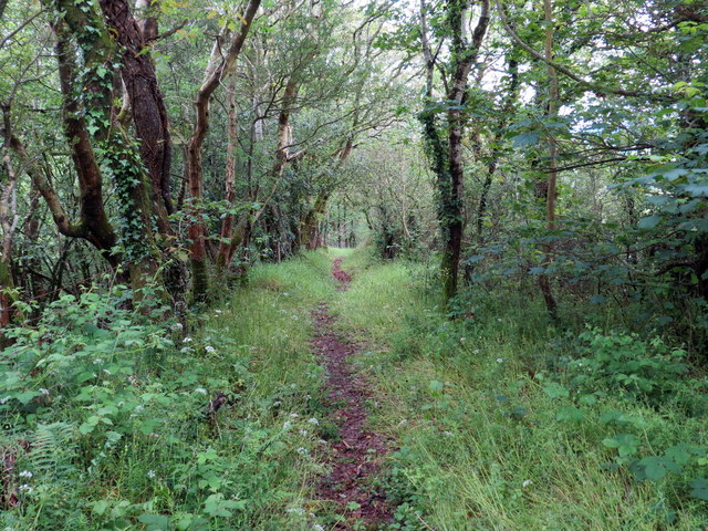
Image: © Alan Richards Taken: 12 Jun 2019
Hen heol sydd bellach yn llwybr yn mynd i lawr y waered o Eglwys Llanbadarn Odwyn. An old road now a footpath descending the hill from Llanbadarn Odwyn (trans. St Padarn Odwyn's church).
Images are licensed for reuse under creativecommons.org/licenses/by-sa/2.0
Image Location
Latitude
52.225199
Longitude
-4.005106