Homefield Close
Introduction
The photograph on this page of Homefield Close by Ian Capper as part of the Geograph project.
The Geograph project started in 2005 with the aim of publishing, organising and preserving representative images for every square kilometre of Great Britain, Ireland and the Isle of Man.

There are currently over 7.5m images from over 14,400 individuals and you can help contribute to the project by visiting https://www.geograph.org.uk
Homefield Close
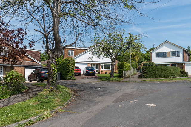
Image: © Ian Capper Taken: 15 May 2019
1960s cul de sac off Fortyfoot Road developed in the grounds of Homefield (see Image). The footpath between the two houses leads to Daymerslea Ridge.
Images are licensed for reuse under creativecommons.org/licenses/by-sa/2.0
Image Location
Latitude
51.296671
Longitude
-0.318392