Melvinshaw
Introduction
The photograph on this page of Melvinshaw by Ian Capper as part of the Geograph project.
The Geograph project started in 2005 with the aim of publishing, organising and preserving representative images for every square kilometre of Great Britain, Ireland and the Isle of Man.

There are currently over 7.5m images from over 14,400 individuals and you can help contribute to the project by visiting https://www.geograph.org.uk
Melvinshaw
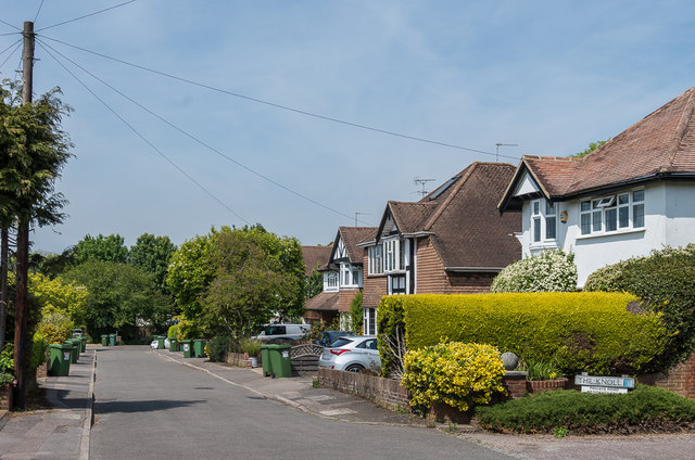
Image: © Ian Capper Taken: 15 May 2019
Cul de sac off Epsom Road, developed in the c1950s on the grounds of a house marked on the 1934-8 1:10,560 map as "Melvin".
Images are licensed for reuse under creativecommons.org/licenses/by-sa/2.0
Image Location
Latitude
51.299355
Longitude
-0.31871