Purley Knoll
Introduction
The photograph on this page of Purley Knoll by Stephen McKay as part of the Geograph project.
The Geograph project started in 2005 with the aim of publishing, organising and preserving representative images for every square kilometre of Great Britain, Ireland and the Isle of Man.

There are currently over 7.5m images from over 14,400 individuals and you can help contribute to the project by visiting https://www.geograph.org.uk
Purley Knoll
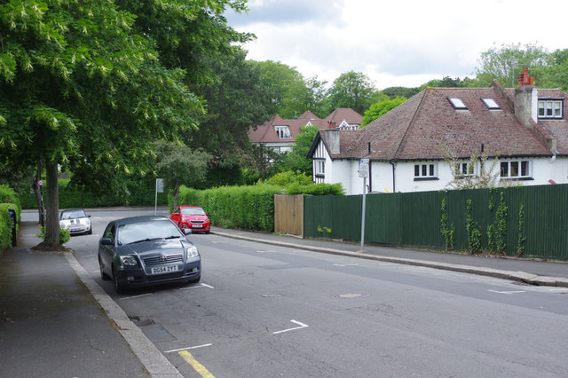
Image: © Stephen McKay Taken: 11 Jun 2019
Leafy Purley. Purley developed rapidly in the 1920s and '30s, a suburban town sandwiched between Croydon to the north and the North Downs to the south; it is one of the UK's most affluent areas. It can also be quite hilly; here, Purley Knoll drops down to Valley Road.
Images are licensed for reuse under creativecommons.org/licenses/by-sa/2.0
Image Location
Latitude
51.338688
Longitude
-0.121599