Stanwell Moor Village Hall
Introduction
The photograph on this page of Stanwell Moor Village Hall by Des Blenkinsopp as part of the Geograph project.
The Geograph project started in 2005 with the aim of publishing, organising and preserving representative images for every square kilometre of Great Britain, Ireland and the Isle of Man.

There are currently over 7.5m images from over 14,400 individuals and you can help contribute to the project by visiting https://www.geograph.org.uk
Stanwell Moor Village Hall
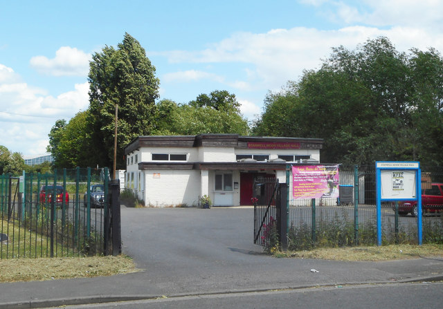
Image: © Des Blenkinsopp Taken: 6 Jun 2019
Stanwell Moor is a community of mainly 20th century housing sandwiched in between reservoirs, the M25 and Heathrow Airport.
Images are licensed for reuse under creativecommons.org/licenses/by-sa/2.0
Image Location
Latitude
51.461763
Longitude
-0.499903