Toward Longhorsley on the A697
Introduction
The photograph on this page of Toward Longhorsley on the A697 by Martin Dawes as part of the Geograph project.
The Geograph project started in 2005 with the aim of publishing, organising and preserving representative images for every square kilometre of Great Britain, Ireland and the Isle of Man.

There are currently over 7.5m images from over 14,400 individuals and you can help contribute to the project by visiting https://www.geograph.org.uk
Toward Longhorsley on the A697
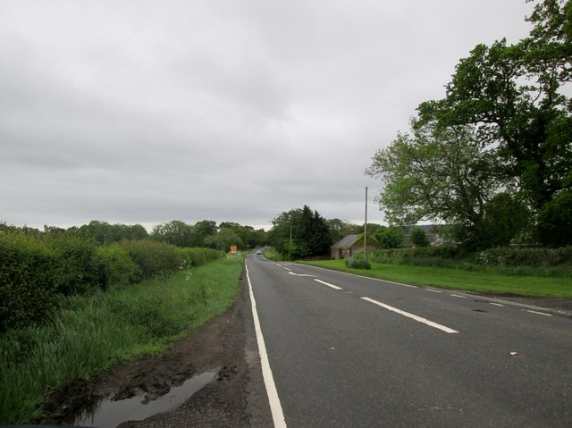
Image: © Martin Dawes Taken: 31 May 2019
Buildings on the right are Linden Square. Ahead on the left before the bend is the entrance to Linden Hall Golf and Country Club
Images are licensed for reuse under creativecommons.org/licenses/by-sa/2.0
Image Location
Latitude
55.2594
Longitude
-1.774032