Field near Church Brampton
Introduction
The photograph on this page of Field near Church Brampton by Keith Morrison as part of the Geograph project.
The Geograph project started in 2005 with the aim of publishing, organising and preserving representative images for every square kilometre of Great Britain, Ireland and the Isle of Man.

There are currently over 7.5m images from over 14,400 individuals and you can help contribute to the project by visiting https://www.geograph.org.uk
Field near Church Brampton
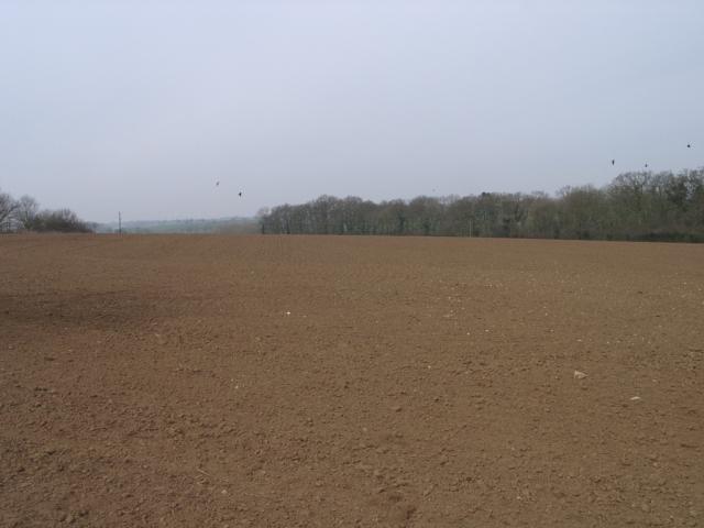
Image: © Keith Morrison Taken: 21 Mar 2005
Picture taken at gateway of field, looking northwest from unclassified road. The gate is approx 100m to the east of a bridge crossing railway line. Furrows are visible, but no growth of plants despite being late march.
Images are licensed for reuse under creativecommons.org/licenses/by-sa/2.0
Image Location


Leaflet Map data © OpenStreetMap
Latitude
52.283001
Longitude
-0.953308