Wales Coast Path on the A48
Introduction
The photograph on this page of Wales Coast Path on the A48 by Eirian Evans as part of the Geograph project.
The Geograph project started in 2005 with the aim of publishing, organising and preserving representative images for every square kilometre of Great Britain, Ireland and the Isle of Man.

There are currently over 7.5m images from over 14,400 individuals and you can help contribute to the project by visiting https://www.geograph.org.uk
Wales Coast Path on the A48
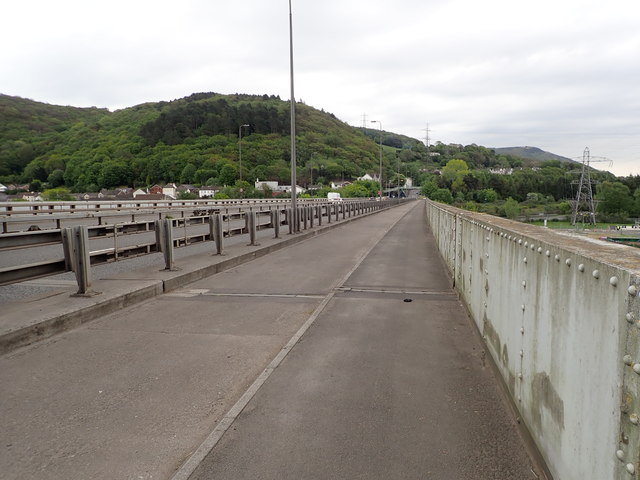
Image: © Eirian Evans Taken: 6 May 2019
Looking back towards Briton Ferry, the A48 bridge crosses the River Neath
Images are licensed for reuse under creativecommons.org/licenses/by-sa/2.0
Image Location
Latitude
51.630894
Longitude
-3.824174