Former St Mary's Convent
Introduction
The photograph on this page of Former St Mary's Convent by Philip Halling as part of the Geograph project.
The Geograph project started in 2005 with the aim of publishing, organising and preserving representative images for every square kilometre of Great Britain, Ireland and the Isle of Man.

There are currently over 7.5m images from over 14,400 individuals and you can help contribute to the project by visiting https://www.geograph.org.uk
Former St Mary's Convent
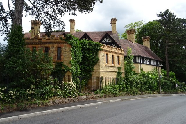
Image: © Philip Halling Taken: 8 Jun 2019
Building at the former St Mary's Convent, for many years this was a school which closed in 2014.
Images are licensed for reuse under creativecommons.org/licenses/by-sa/2.0
Image Location
Latitude
52.181728
Longitude
-2.207197