Farmland, Stanford in the Vale
Introduction
The photograph on this page of Farmland, Stanford in the Vale by Andrew Smith as part of the Geograph project.
The Geograph project started in 2005 with the aim of publishing, organising and preserving representative images for every square kilometre of Great Britain, Ireland and the Isle of Man.

There are currently over 7.5m images from over 14,400 individuals and you can help contribute to the project by visiting https://www.geograph.org.uk
Farmland, Stanford in the Vale
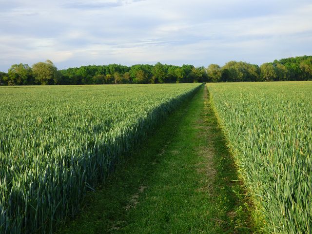
Image: © Andrew Smith Taken: 1 Jun 2019
A bridleway heading towards Charney Bassett here passes through a field of wheat. The path becomes more enclosed as it heads east, but was found to be well maintained and free from overgrowth throughout its length.
Images are licensed for reuse under creativecommons.org/licenses/by-sa/2.0
Image Location
Latitude
51.646945
Longitude
-1.47315