A4, Bad Godesburg Way, Maidenhead
Introduction
The photograph on this page of A4, Bad Godesburg Way, Maidenhead by Robin Webster as part of the Geograph project.
The Geograph project started in 2005 with the aim of publishing, organising and preserving representative images for every square kilometre of Great Britain, Ireland and the Isle of Man.

There are currently over 7.5m images from over 14,400 individuals and you can help contribute to the project by visiting https://www.geograph.org.uk
A4, Bad Godesburg Way, Maidenhead
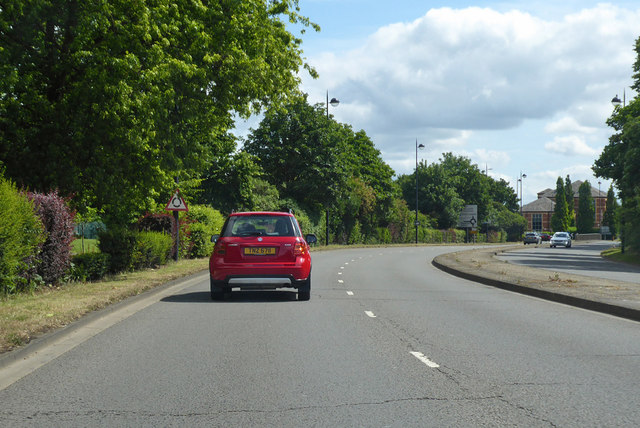
Image: © Robin Webster Taken: 9 Jun 2019
This road ringing the town centre and the original route of the A4 has sections named after towns Maidenhead is twinned with.
Images are licensed for reuse under creativecommons.org/licenses/by-sa/2.0
Image Location
Latitude
51.523928
Longitude
-0.72273