Public footpath
Introduction
The photograph on this page of Public footpath by Alan Walker as part of the Geograph project.
The Geograph project started in 2005 with the aim of publishing, organising and preserving representative images for every square kilometre of Great Britain, Ireland and the Isle of Man.

There are currently over 7.5m images from over 14,400 individuals and you can help contribute to the project by visiting https://www.geograph.org.uk
Public footpath
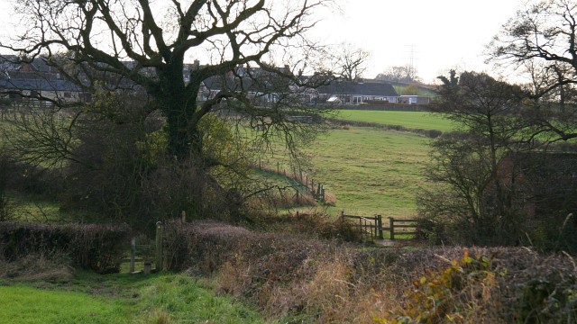
Image: © Alan Walker Taken: 14 Nov 2007
This south-westerly facing photograph shows a public footpath that connects Image¹, Lower Pilsley (ahead by the houses) with Dark Lane¹, North Wingfield (behind the viewpoint). Beyond the first stile this route crosses another footpath (running across the picture) and then bears to the right before crossing a footbridge and the second stile. The other Image connects Little Morton Road¹ (right, westerly) with Seanor Farm¹ and on to Timber Lane¹ (left, easterly). For a more south-westerly (ahead) photograph of this public footpath, click here Image For a more north-easterly (behind the viewpoint) photograph of this track and public footpath, click here Image ¹ Road/Farm name information from OS Maps at:- Elgin, http://www.elgin.gov.uk/ and the Mapping Portal of the Derbyshire Partnership, http://derbyshiremaps.derbyshire.gov.uk/
Images are licensed for reuse under creativecommons.org/licenses/by-sa/2.0
Image Location
Latitude
53.174015
Longitude
-1.379989