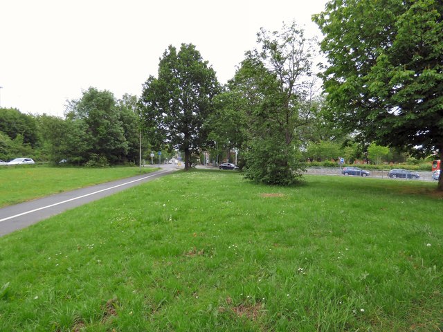
Brinnington Road
Introduction
The photograph on this page of Brinnington Road by Gerald England as part of the Geograph project.
The Geograph project started in 2005 with the aim of publishing, organising and preserving representative images for every square kilometre of Great Britain, Ireland and the Isle of Man.
There are currently over 7.5m images from over 14,400 individuals and you can help contribute to the project by visiting https://www.geograph.org.uk

Image: © Gerald England Taken: 1 Jun 2019
Originally the road ran straight through here but with the building of the Portwood roundabout the section in the foreground became just a footpath and cycleway with underpasses. On the left can be seen traffic on the new A560 Crookilley Way which runs alongside the M60 at a slightly lower level. This does not connect with Brinnington Road which crosses them both some distance beyond here. To reach the roundabout traffic on Brinnington Road now uses a new road by the side of the former St Paul's churchyard Image to a junction with Carrington Road, formerly A560 now B6104 out of shot on the right.

