Mill Road, Winchelsea
Introduction
The photograph on this page of Mill Road, Winchelsea by Simon Carey as part of the Geograph project.
The Geograph project started in 2005 with the aim of publishing, organising and preserving representative images for every square kilometre of Great Britain, Ireland and the Isle of Man.

There are currently over 7.5m images from over 14,400 individuals and you can help contribute to the project by visiting https://www.geograph.org.uk
Mill Road, Winchelsea
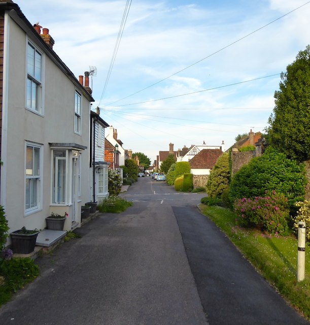
Image: © Simon Carey Taken: 1 Jun 2019
Linking Roberts Hill, the A259, to Castle Street. On the original medieval plan of Winchelsea this was known as Second Street. Pound Cottage is the dwelling on the left.
Images are licensed for reuse under creativecommons.org/licenses/by-sa/2.0
Image Location
Latitude
50.925588
Longitude
0.709273