Higham Green, Winchelsea
Introduction
The photograph on this page of Higham Green, Winchelsea by Simon Carey as part of the Geograph project.
The Geograph project started in 2005 with the aim of publishing, organising and preserving representative images for every square kilometre of Great Britain, Ireland and the Isle of Man.

There are currently over 7.5m images from over 14,400 individuals and you can help contribute to the project by visiting https://www.geograph.org.uk
Higham Green, Winchelsea
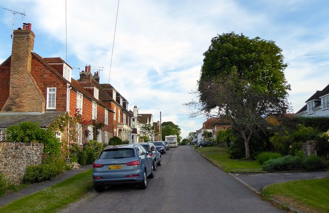
Image: © Simon Carey Taken: 1 Jun 2019
The street links Mill Road to High Street and was originally known as Higham Street but changed to avoid confusion with High Street. Higham is a corruption of Iham the name of the original settlement on this promontory prior to the layout of the new town of Winchelsea. Elm Cottages and Finches house are located on the left.
Images are licensed for reuse under creativecommons.org/licenses/by-sa/2.0
Image Location
Latitude
50.925158
Longitude
0.708394