German Street, Winchelsea
Introduction
The photograph on this page of German Street, Winchelsea by Simon Carey as part of the Geograph project.
The Geograph project started in 2005 with the aim of publishing, organising and preserving representative images for every square kilometre of Great Britain, Ireland and the Isle of Man.

There are currently over 7.5m images from over 14,400 individuals and you can help contribute to the project by visiting https://www.geograph.org.uk
German Street, Winchelsea
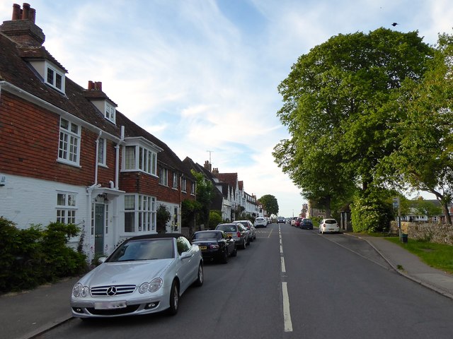
Image: © Simon Carey Taken: 1 Jun 2019
A continuation of Monk's Walk beyond the junction with Back Lane. Up until 1973 this was part of the A259.
Images are licensed for reuse under creativecommons.org/licenses/by-sa/2.0
Image Location
Latitude
50.924087
Longitude
0.708048