Approach road to St Saviour's hospital
Introduction
The photograph on this page of Approach road to St Saviour's hospital by Nick Smith as part of the Geograph project.
The Geograph project started in 2005 with the aim of publishing, organising and preserving representative images for every square kilometre of Great Britain, Ireland and the Isle of Man.

There are currently over 7.5m images from over 14,400 individuals and you can help contribute to the project by visiting https://www.geograph.org.uk
Approach road to St Saviour's hospital
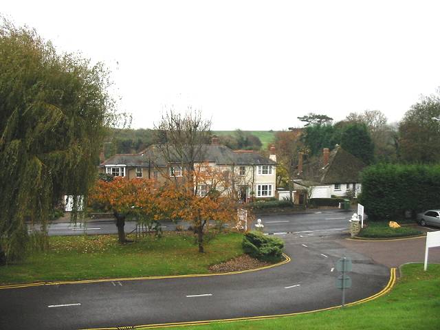
Image: © Nick Smith Taken: 13 Nov 2007
Viewed from the hospital car park looking towards Seabrook Road and the sea
Images are licensed for reuse under creativecommons.org/licenses/by-sa/2.0
Image Location
Latitude
51.071806
Longitude
1.10442