Dedham High Street c1948
Introduction
The photograph on this page of Dedham High Street c1948 by George W Baker as part of the Geograph project.
The Geograph project started in 2005 with the aim of publishing, organising and preserving representative images for every square kilometre of Great Britain, Ireland and the Isle of Man.

There are currently over 7.5m images from over 14,400 individuals and you can help contribute to the project by visiting https://www.geograph.org.uk
Dedham High Street c1948
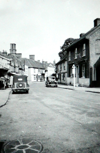
Image: © George W Baker Taken: Unknown
As John Salmon’s 2016 view of Image shows very little has changed over the years, other than the road sign, on the right, which may have indicated the turning into Princel Lane. This view was taken by my paternal grandfather George W Baker.
Images are licensed for reuse under creativecommons.org/licenses/by-sa/2.0
Image Location
Latitude
51.958698
Longitude
0.991682