Tolbooth and town hall, Marketgate, Crail
Introduction
The photograph on this page of Tolbooth and town hall, Marketgate, Crail by Richard Sutcliffe as part of the Geograph project.
The Geograph project started in 2005 with the aim of publishing, organising and preserving representative images for every square kilometre of Great Britain, Ireland and the Isle of Man.

There are currently over 7.5m images from over 14,400 individuals and you can help contribute to the project by visiting https://www.geograph.org.uk
Tolbooth and town hall, Marketgate, Crail
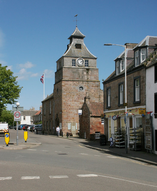
Image: © Richard Sutcliffe Taken: 24 May 2019
Category A listed building [http://portal.historicenvironment.scot/designation/LB23287]. The lower part of the tower is 16th century in date.
Images are licensed for reuse under creativecommons.org/licenses/by-sa/2.0
Image Location
Latitude
56.260752
Longitude
-2.626303