Farmland near Wilde Street
Introduction
The photograph on this page of Farmland near Wilde Street by Bob Jones as part of the Geograph project.
The Geograph project started in 2005 with the aim of publishing, organising and preserving representative images for every square kilometre of Great Britain, Ireland and the Isle of Man.

There are currently over 7.5m images from over 14,400 individuals and you can help contribute to the project by visiting https://www.geograph.org.uk
Farmland near Wilde Street
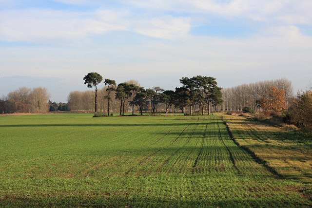
Image: © Bob Jones Taken: 21 Nov 2007
Winter wheat has been sown in this field, viewed from Holywell Drove, close to Dingle Nook Farm.
Images are licensed for reuse under creativecommons.org/licenses/by-sa/2.0
Image Location
Latitude
52.385185
Longitude
0.486807