Path on Farthing Downs
Introduction
The photograph on this page of Path on Farthing Downs by Bill Boaden as part of the Geograph project.
The Geograph project started in 2005 with the aim of publishing, organising and preserving representative images for every square kilometre of Great Britain, Ireland and the Isle of Man.

There are currently over 7.5m images from over 14,400 individuals and you can help contribute to the project by visiting https://www.geograph.org.uk
Path on Farthing Downs
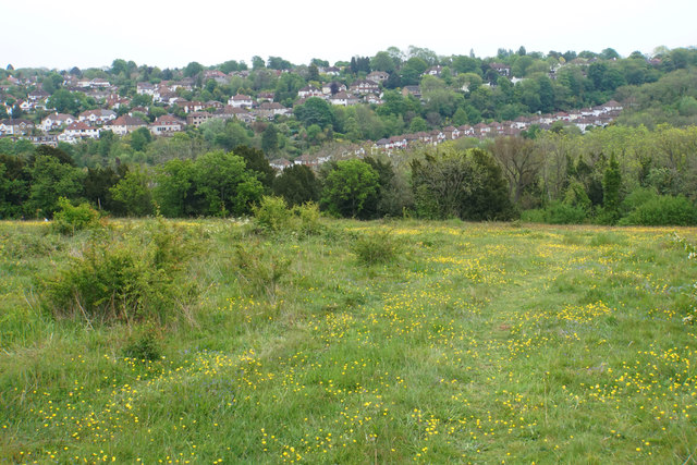
Image: © Bill Boaden Taken: 18 May 2019
Looking eastwards from near the top of the down. Housing in Coulsdon is visible, in particular Mead Way, climbing up the opposite hillside.
Images are licensed for reuse under creativecommons.org/licenses/by-sa/2.0
Image Location
Latitude
51.30717
Longitude
-0.135799